Introduction to Geography for KPSS-MEB AGS 2026 - kapak
Eğitim#geography#kpss#education#teacher training

Introduction to Geography for KPSS-MEB AGS 2026

This audio summary provides an academic overview of foundational geographical concepts relevant to the KPSS-MEB Field Knowledge Examination, specifically focusing on introductory geography principles.

yasmin19April 24, 2026 ~20 dk toplam
01

Sesli Özet

6 dakika

Konuyu otobüste, koşarken, yolda dinleyerek öğren.

Sesli Özet

Introduction to Geography for KPSS-MEB AGS 2026

0:005:34
02

Görsel Özet

İnfografik

Konunun tüm parçalarını tek bakışta gör.

Introduction to Geography for KPSS-MEB AGS 2026 - görsel özet infografik
Tam boyutta görüntüle →
03

Flash Kartlar

25 kart

Karta tıklayarak çevir. ← → ile gez, ⎵ ile çevir.

1 / 25
Tüm kartları metin olarak gör
  1. 1. What is the primary purpose of the KPSS examination mentioned in the text?

    The Public Personnel Selection Examination (KPSS) is a crucial assessment for individuals seeking public service positions in Turkey. This includes teaching roles within the Ministry of National Education (MEB). Its main purpose is to evaluate candidates' suitability and knowledge for these government positions.

  2. 2. What does 'AGS Coğrafya' specifically evaluate for prospective teachers?

    AGS Coğrafya, which stands for the Geography Field Knowledge Test, specifically evaluates the geographical expertise of prospective geography teachers. This assessment ensures that candidates possess a comprehensive understanding of geographical concepts and principles required for effective teaching in the field.

  3. 3. How is geography defined as an academic discipline according to the text?

    Geography is fundamentally defined as the study of the Earth's surface. This encompasses its physical features, climate, population distribution, and the intricate interactions between human societies and their natural environments. It aims to understand the 'where,' 'why,' and 'how' of phenomena across the globe.

  4. 4. What are the two principal branches into which geography is broadly categorized?

    Geography is broadly categorized into two principal branches: physical geography and human geography. Physical geography focuses on natural processes and features, while human geography explores the spatial organization and distribution of human activities. These two branches together provide a holistic view of the Earth and its inhabitants.

  5. 5. What does physical geography primarily investigate?

    Physical geography primarily investigates the natural processes and features of the Earth. This includes the study of landforms, atmospheric conditions, water resources, the distribution of life forms, and the characteristics of soils. It seeks to understand the natural environment and the forces that shape it.

  6. 6. What does human geography primarily explore?

    Human geography primarily explores the spatial organization and distribution of human activities and their relationship with the environment. This branch examines how human societies interact with, modify, and are influenced by their geographical settings. It covers aspects like population patterns, economic activities, political structures, urban systems, and cultural phenomena.

  7. 7. Which sub-branch of physical geography studies landforms?

    Geomorphology is the sub-branch of physical geography that specifically studies landforms. It investigates their origin, evolution, and distribution across the Earth's surface. This field helps us understand how natural processes like erosion, weathering, and tectonic activity shape the landscape.

  8. 8. What is the focus of climatology within physical geography?

    Climatology, within physical geography, focuses on atmospheric conditions and climate patterns. It studies long-term weather trends, climate zones, and the factors influencing global and regional climates. This understanding is crucial for analyzing environmental changes and their impacts.

  9. 9. Which area of study within physical geography examines water resources?

    Hydrology is the area of study within physical geography that examines water resources. It investigates the distribution, movement, and quality of water on Earth, including rivers, lakes, groundwater, and glaciers. Understanding hydrology is vital for water management and environmental conservation.

  10. 10. What does biogeography analyze?

    Biogeography analyzes the distribution of life forms, including plants and animals, across the Earth's surface. It explores the factors that influence these distributions, such as climate, topography, and human activities. This field helps us understand biodiversity and ecosystem dynamics.

  11. 11. What is the concern of soil geography?

    Soil geography is concerned with the characteristics and distribution of soils across different regions. It examines soil formation processes, soil types, and their properties, as well as their importance for agriculture and ecosystems. This understanding is crucial for land use planning and environmental management.

  12. 12. Which sub-branch of human geography analyzes demographic patterns?

    Population geography is the sub-branch of human geography that analyzes demographic patterns. It studies the distribution, composition, migration, and growth of human populations. This field helps us understand societal changes, resource demands, and urban development.

  13. 13. What does economic geography focus on?

    Economic geography focuses on the spatial aspects of economic activities. It examines the distribution of industries, trade routes, resource extraction, and consumption patterns across different regions. This field helps explain global economic disparities and the localization of economic production.

  14. 14. What does political geography study?

    Political geography studies the spatial implications of political processes. It examines how political power is organized and exercised across territories, including the formation of states, borders, electoral systems, and international relations. This field helps understand geopolitical conflicts and cooperation.

  15. 15. What is the subject of urban geography?

    Urban geography investigates cities and urban systems. It studies the growth, structure, and functions of urban areas, as well as the social, economic, and environmental issues within them. This field is crucial for urban planning, development, and understanding metropolitan dynamics.

  16. 16. What does cultural geography examine?

    Cultural geography examines the spatial distribution of cultural phenomena. This includes languages, religions, customs, traditions, and material culture across different regions. It explores how culture shapes landscapes and how geographical factors influence cultural development and diffusion.

  17. 17. What is the role of regional geography as an integrative branch?

    Regional geography serves as an integrative branch by synthesizing both physical and human aspects within specific geographical areas. It provides a holistic understanding of a particular region by examining the interplay of its natural environment, human societies, and cultural characteristics. This approach offers a comprehensive perspective on regional complexities.

  18. 18. Name three key concepts that form the conceptual bedrock of geographical inquiry.

    Three key concepts that form the conceptual bedrock of geographical inquiry are absolute and relative location, the characteristics of place, and human-environment interaction. Other important concepts include patterns of movement and the delineation of regions. These concepts provide fundamental frameworks for analyzing spatial relationships and phenomena.

  19. 19. Explain the principle of distribution ('yayılış') in geography.

    The principle of distribution, or 'yayılış,' focuses on identifying the spatial arrangement and patterns of phenomena across the Earth's surface. It involves mapping and analyzing where things are located and how they are spread out. This principle helps geographers understand the spatial organization of both natural and human features.

  20. 20. What does the principle of causality ('nedensellik') seek to explain?

    The principle of causality, or 'nedensellik,' seeks to explain the underlying reasons and processes that lead to observed geographical distributions and characteristics. It goes beyond simply describing 'where' something is, to understand 'why' it is there. This principle helps uncover the cause-and-effect relationships in geographical phenomena.

  21. 21. Describe the principle of interaction ('karşılıklı ilgi').

    The principle of interaction, or 'karşılıklı ilgi,' emphasizes the interconnectedness and mutual influence between different geographical elements. This includes interactions between physical features, human societies, and environmental processes. It highlights that no geographical phenomenon exists in isolation, but rather as part of a complex, interdependent system.

  22. 22. What does the principle of comparison ('karşılaştırma') involve?

    The principle of comparison, or 'karşılaştırma,' involves analyzing similarities and differences between various regions or phenomena. By comparing different areas or processes, geographers can derive broader generalizations, identify unique characteristics, and gain deeper understandings. This comparative approach helps in developing theories and models in geography.

  23. 23. What is cartography and its importance in geography?

    Cartography is the art and science of map-making, and it remains central to representing spatial information in geography. Maps are essential tools for visualizing distributions, relationships, and patterns across the Earth's surface. They allow geographers to communicate complex spatial data effectively and analyze geographical phenomena.

  24. 24. How does remote sensing contribute to geographical research?

    Remote sensing contributes to geographical research by utilizing satellite imagery and aerial photography to gather data from a distance. This technology allows for the collection of information about the Earth's surface without direct contact, providing valuable insights into land cover, vegetation, urban growth, and environmental changes over large areas. It's crucial for monitoring and analysis.

  25. 25. What is GIS and its function in geography?

    GIS, or Geographic Information Systems, provides powerful computational frameworks for storing, analyzing, and visualizing spatial data. It allows geographers to integrate various layers of geographical information, perform complex spatial queries, and create detailed maps. GIS is indispensable for urban planning, environmental management, and resource allocation.

04

Bilgini Test Et

15 soru

Çoktan seçmeli sorularla öğrendiklerini ölç. Cevap + açıklama.

Soru 1 / 15Skor: 0

Which examination is specifically mentioned as evaluating the geographical expertise of prospective geography teachers in Turkey?

05

Detaylı Özet

4 dk okuma

Tüm konuyu derinlemesine, başlık başlık.

This content is based on a YouTube video.


📚 Introduction to Geography: Foundations for Educators

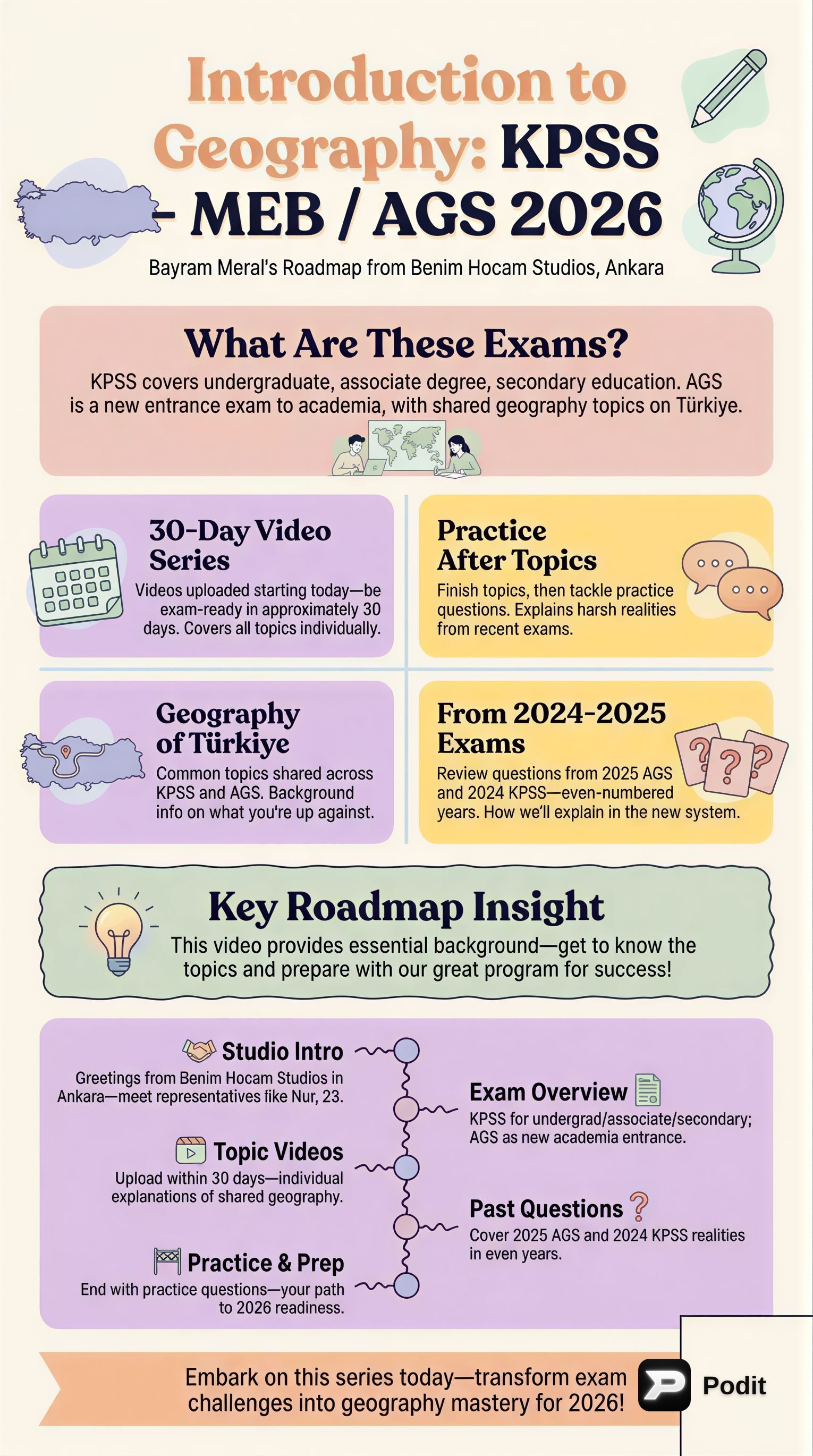
This study material provides a comprehensive overview of introductory geography, specifically tailored for aspiring educators preparing for the KPSS-MEB Field Knowledge Examination (AGS Coğrafya) in 2026. A strong grasp of these foundational concepts is crucial for success in the examination and for effectively teaching geography.

🌍 Defining Geography and its Principal Branches

Geography is an academic discipline dedicated to the study of the Earth's surface. It encompasses its physical features, climate, population distribution, and the intricate interactions between human societies and their natural environments. The core aim of geography is to understand where phenomena are located, why they are there, and how they develop and change over time.

The discipline is broadly divided into two main branches, with an integrative third branch:

1. Physical Geography

This branch investigates the natural processes and features of the Earth.

  • Geomorphology: 🏞️ Studies landforms and the processes that create and modify them.
  • Climatology: ☁️ Focuses on atmospheric conditions, weather patterns, and climate zones.
  • Hydrology: 💧 Examines water resources, their distribution, and movement.
  • Biogeography: 🌳 Analyzes the spatial distribution of life forms (plants and animals).
  • Soil Geography: 🪨 Concerns the characteristics, formation, and distribution of soils.

2. Human Geography

This branch explores the spatial organization and distribution of human activities and their relationship with the environment.

  • Population Geography: 👥 Analyzes demographic patterns, distribution, and migration.
  • Economic Geography: 📈 Focuses on the spatial aspects of economic activities, production, and consumption.
  • Political Geography: 🗳️ Studies the spatial implications of political processes, boundaries, and power.
  • Urban Geography: 🏙️ Investigates cities, urban systems, and urbanization processes.
  • Cultural Geography: 🎭 Examines the spatial distribution of cultural phenomena, beliefs, and practices.

3. Regional Geography

This serves as an integrative branch, synthesizing both physical and human aspects within specific geographical areas. It aims to provide a holistic understanding of particular regions by considering all relevant geographical factors.

Key Geographical Concepts

The conceptual bedrock of geographical inquiry includes:

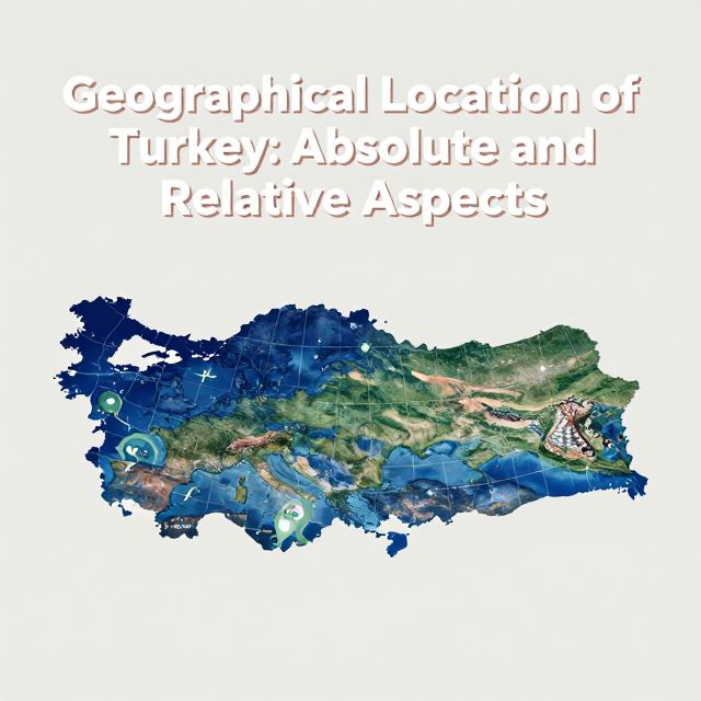
  • Absolute Location: Precise position on Earth (e.g., coordinates).
  • Relative Location: Position in relation to other places.
  • Characteristics of Place: Unique physical and human attributes of a location.
  • Human-Environment Interaction: The ways humans adapt to, modify, and depend on the environment.
  • Patterns of Movement: The flow of people, goods, and ideas across space.
  • Delineation of Regions: Defining areas based on shared characteristics.

🧭 Core Geographical Principles and Methodological Approaches

The study of geography is guided by several fundamental principles that structure its investigative approach:

Fundamental Principles

  • Principle of Distribution (Yayılış): Identifying the spatial arrangement and patterns of phenomena across the Earth's surface.
  • Principle of Causality (Nedensellik): Seeking to explain the underlying reasons and processes that lead to observed distributions and characteristics.
  • Principle of Interaction (Karşılıklı İlgi): Emphasizing the interconnectedness and mutual influence between different geographical elements, whether physical or human.
  • Principle of Comparison (Karşılaştırma): Analyzing similarities and differences between various regions or phenomena to derive broader generalizations and understandings.

Methodological Approaches and Tools

Geographers employ a diverse array of tools and techniques to conduct their research:

  • Cartography: 🗺️ The art and science of map-making, central to representing spatial information.
  • Remote Sensing: 🛰️ Utilizes satellite imagery and aerial photography to gather data from a distance.
  • Geographic Information Systems (GIS): 💻 Powerful computational frameworks for storing, analyzing, and visualizing spatial data.
  • Fieldwork and Direct Observation: 🚶 Essential for empirical data collection and firsthand understanding of geographical phenomena.
  • Statistical Analysis: 📊 Frequently applied to interpret quantitative geographical information and identify trends.

The evolution of geographical thought has progressed significantly, moving from largely descriptive approaches to more analytical, quantitative, and critical methodologies. This reflects the discipline's ongoing development and its increasing capacity to address complex global challenges.

💡 Conclusion: The Significance of Foundational Geographical Knowledge

A robust understanding of introductory geography is indispensable for aspiring educators preparing for the KPSS-MEB Field Knowledge Examination. This foundational knowledge provides the essential framework for:

  • Comprehending the Earth's diverse physical and human landscapes.
  • Understanding the intricate processes that shape these landscapes.
  • Mastering the methodologies employed to study them.

By mastering these core concepts, future geography teachers will be equipped to:

  • Effectively convey complex geographical ideas to their students.
  • Foster a deeper appreciation for the world's spatial organization and its dynamic interconnections.
  • Critically analyze global challenges such as climate change, resource management, and geopolitical shifts.

This comprehensive grounding enables educators to contribute to informed citizenship and sustainable development. The academic rigor applied to these introductory topics is crucial for developing the pedagogical competence required for excellence in geographical education.

Kendi çalışma materyalini oluştur

PDF, YouTube videosu veya herhangi bir konuyu dakikalar içinde podcast, özet, flash kart ve quiz'e dönüştür. 1.000.000+ kullanıcı tercih ediyor.

Sıradaki Konular

Tümünü keşfet
Introduction to Geography for KPSS Examination

Introduction to Geography for KPSS Examination

This summary provides a formal academic overview of introductory geography, covering its fundamental concepts, branches, and key principles relevant for the KPSS examination.

5 dk Özet 25 15 Görsel
Introduction to Geography for KPSS-AGS Examination

Introduction to Geography for KPSS-AGS Examination

This summary provides an academic overview of foundational geographical concepts relevant to the KPSS-AGS examination for prospective geography teachers in Turkey, emphasizing key principles and their educational significance.

6 dk Özet 25 15
Turkey's Climate: Temperature Dynamics

Turkey's Climate: Temperature Dynamics

An academic overview of temperature characteristics and influencing factors across Turkey, essential for understanding its diverse climate zones and for educational contexts like the KPSS examinations.

5 dk Özet 25 15
Temperature Dynamics in Turkey's Climate

Temperature Dynamics in Turkey's Climate

An academic overview of temperature distribution and its influencing factors across Turkey, covering geographical principles relevant to climate studies and educational curricula.

5 dk Özet 25 15
Geographical Location of Turkey: Absolute and Relative Aspects

Geographical Location of Turkey: Absolute and Relative Aspects

This summary explores Turkey's geographical location, differentiating between absolute and relative positions. It covers parallels, meridians, and the geopolitical significance of its unique placement.

7 dk 25
KPSS & AGS Mathematics: Basic Operations Fundamentals

KPSS & AGS Mathematics: Basic Operations Fundamentals

An academic summary of foundational mathematical operations crucial for the KPSS and AGS examinations, focusing on core concepts and their application in competitive exam settings.

6 dk Özet 25 15
Geographical Location: Absolute and Relative Aspects

Geographical Location: Absolute and Relative Aspects

An academic overview of absolute and relative geographical location, focusing on key concepts and their application to Turkey's geography, relevant for the KPSS examination.

8 dk Özet 25 15
Earth Systems and Resources Overview

Earth Systems and Resources Overview

An academic summary of Earth's physical systems, including plate tectonics, soil dynamics, atmospheric composition, global climate drivers, and oceanic phenomena like ENSO.

8 dk 15 Görsel