Görsel Özet
İnfografikKonunun tüm parçalarını tek bakışta gör.
Flash Kartlar
25 kartKarta tıklayarak çevir. ← → ile gez, ⎵ ile çevir.
Tüm kartları metin olarak gör
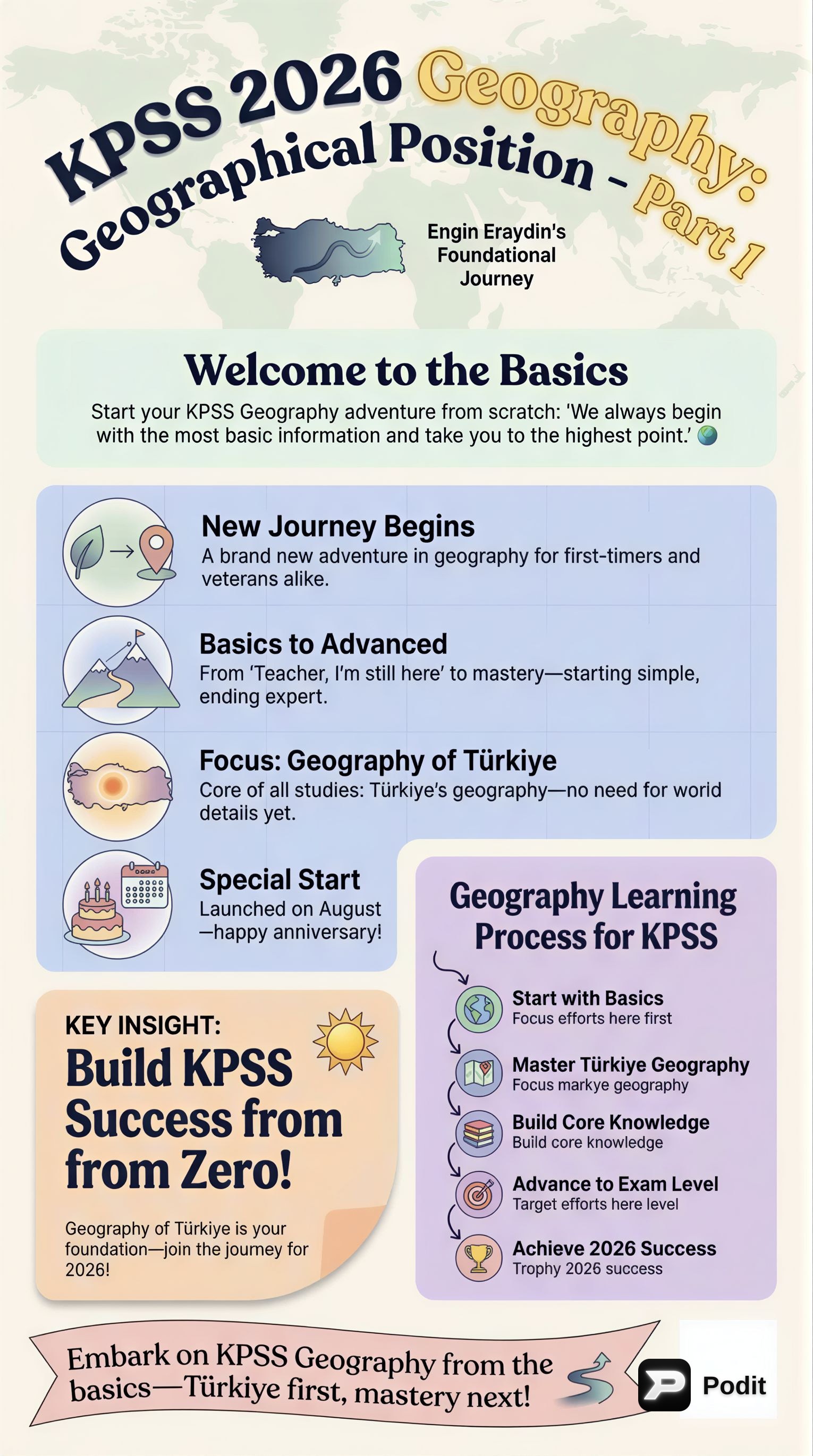
1. What is the primary purpose of understanding geographical location?
The primary purpose is to precisely pinpoint any spot on Earth and to understand how a place's significance changes based on its surroundings. This foundational concept helps us make sense of our world by providing tools for spatial analysis and comprehension.
2. What are the two main types of geographical location discussed in the text?
The text discusses two main types of geographical location: absolute location and relative location. Absolute location is fixed and mathematical, relying on a global coordinate system, while relative location describes a place in relation to others, focusing on context and connections.
3. Define absolute location and provide its alternative name.
Absolute location, also known as mathematical location, is like giving an exact address using a global coordinate system. It relies on an imaginary grid of lines covering the Earth to identify any point with incredible precision.
4. What imaginary lines form the Earth's grid system for absolute location?
The Earth's grid system for absolute location is formed by two sets of imaginary lines: parallels and meridians. Parallels run horizontally, while meridians run vertically, and their intersection creates unique coordinates for every point on Earth.
5. Describe parallels (lines of latitude) and their orientation on Earth.
Parallels, or lines of latitude, run horizontally around the Earth, parallel to the Equator. They measure distance north or south of the Equator, which is designated as 0 degrees latitude. These lines are crucial for determining a location's position relative to the poles.
6. What is the significance of the Equator in relation to parallels?
The Equator is significant because it is the 0 degrees latitude line, serving as the primary reference point for all parallels. It divides the Earth into the Northern and Southern Hemispheres, and all other parallels are measured as distances north or south from it.
7. How do parallels change as you move away from the Equator towards the poles?
As you move away from the Equator towards the poles, parallels get shorter in length. This is because the Earth is a sphere, and the circumference of the circles formed by these lines decreases as they approach the Earth's rotational axis at the poles.
8. What is a key characteristic of parallels regarding their intersection?
A key characteristic of parallels is that they never intersect each other. They maintain a constant distance apart, running parallel around the Earth's circumference. This non-intersecting nature is fundamental to the grid system.
9. What are the latitude values for the North Pole and the South Pole?
The North Pole is located at 90 degrees North latitude, and the South Pole is located at 90 degrees South latitude. These represent the maximum possible latitude values, marking the extreme northern and southern points on Earth.
10. Describe meridians (lines of longitude) and their orientation on Earth.
Meridians, or lines of longitude, run vertically from the North Pole to the South Pole. They measure distance east or west of the Prime Meridian, which is the 0 degrees longitude line. These lines converge at the poles.
11. What is the significance of the Prime Meridian in relation to meridians?
The Prime Meridian is significant because it is the 0 degrees longitude line, passing through Greenwich, England. It serves as the reference point from which all other meridians measure distance east or west, dividing the Earth into Eastern and Western Hemispheres.
12. How do meridians compare in length to each other?
Unlike parallels, all meridians are the same length. They all extend from the North Pole to the South Pole, forming great circles that converge at both poles. This uniformity is a distinct feature of longitude lines.
13. What happens to meridians at the Earth's poles?
At the Earth's poles, all meridians converge. This means they meet at a single point at both the North Pole and the South Pole, unlike parallels which remain separate. This convergence is a defining characteristic of meridians.
14. How can any point on Earth be identified with precision using the grid system?
Any point on Earth can be identified with incredible precision by combining a specific latitude (from parallels) and longitude (from meridians). This unique coordinate pair provides an exact global address, crucial for mapping and navigation.
15. List three crucial applications of the absolute location system.
Three crucial applications of the absolute location system are navigation, mapping, and understanding time zones. This system provides the precise coordinates needed for these essential geographical and logistical functions, enabling accurate positioning and global coordination.
16. Define relative location and provide its alternative name.
Relative location, sometimes called special location, tells you where a place is in relation to other places, features, or events. It's about context and connections, describing a location's position based on its surroundings rather than exact coordinates.
17. What does relative location emphasize, unlike absolute location?
Unlike absolute location which emphasizes precise, fixed coordinates, relative location emphasizes context and connections. It highlights a place's relationship to its neighbors, its environment, and its role within a broader geographical or cultural setting.
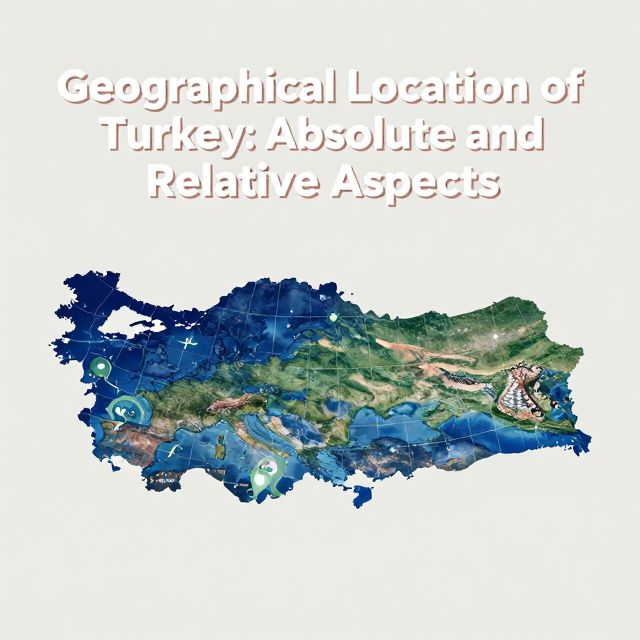
18. Provide an example of a relative location description for Turkey, as mentioned in the text.
An example of Turkey's relative location, as mentioned in the text, is: 'Turkey is located at the crossroads of Europe and Asia, bordered by the Black Sea to the north and the Mediterranean Sea to the south.' This description highlights its strategic geographical position.
19. What kind of insights can relative location descriptions offer about a place?
Relative location descriptions can offer insights into a place's geographical advantages or disadvantages, its climate characteristics, its proximity to trade routes, or its cultural influences. It helps understand the 'why' behind a place's significance and its interactions with its environment.
20. How can a country's relative location impact its economy, climate, and history?
A country's relative location can significantly impact its economy (e.g., being near major trade routes can bring prosperity), climate (e.g., coastal versus inland influences), and even its history (e.g., being surrounded by mountains might offer natural defenses but also isolation). It shapes its development and interactions.
21. Explain why relative location is considered dynamic.
Relative location is considered dynamic because its importance can change over time as global circumstances evolve. Factors such as the opening of a new canal, shifts in political alliances, or technological advancements can alter a region's relative significance and its connections to the world.
22. Give an example of how global circumstances can alter a region's relative significance.
An example of how global circumstances can alter a region's relative significance is the opening of a new canal or a shift in political alliances. These events can change trade patterns, strategic importance, or cultural connections, thereby altering a place's relative location value and its role in the world.
23. What is the primary difference between absolute and relative location?
The primary difference is that absolute location provides a fixed, mathematical address using a grid of coordinates, offering precise identification. In contrast, relative location describes a place in terms of its relationship to other features, offering contextual insights into its significance and connections rather than an exact point.
24. Why are both absolute and relative location considered indispensable tools in geography?
Both are indispensable tools because absolute location provides the precise 'where' for mapping and navigation, essential for exact positioning. Relative location, on the other hand, explains the 'why' and significance of a place in its broader context, offering a much richer and holistic understanding of the world.
25. What is the 0 degrees longitude line called, and where does it pass through?
The 0 degrees longitude line is called the Prime Meridian. It passes through Greenwich, England, and serves as the global reference point from which all other meridians measure distances east and west, playing a crucial role in time zones.
Bilgini Test Et
15 soruÇoktan seçmeli sorularla öğrendiklerini ölç. Cevap + açıklama.
What are the two main types of geographical location discussed in the content?