This content is based on a YouTube video.
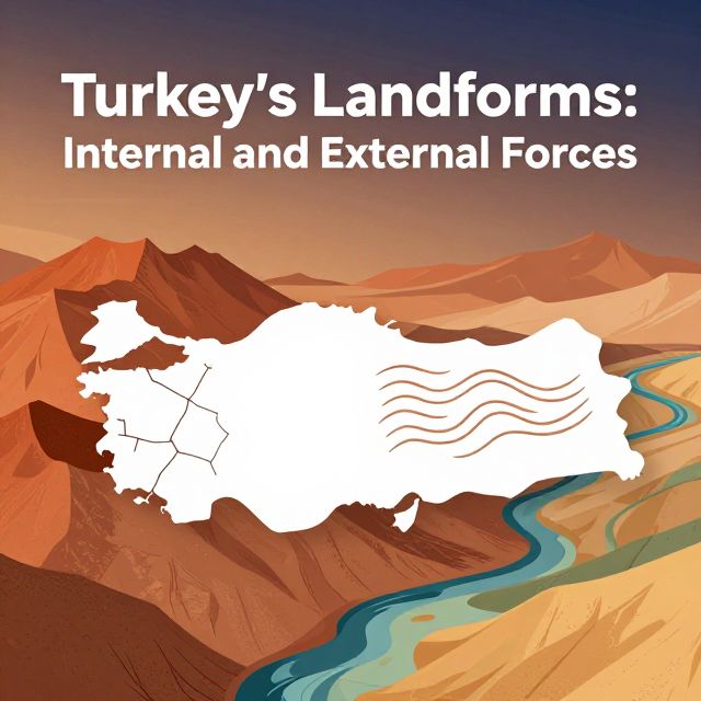
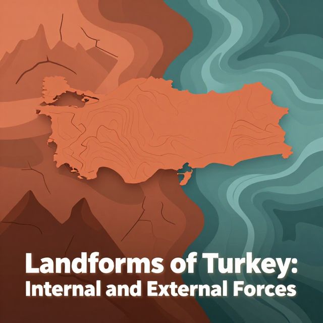
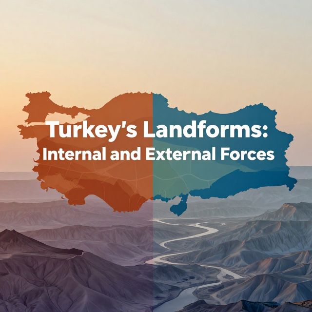
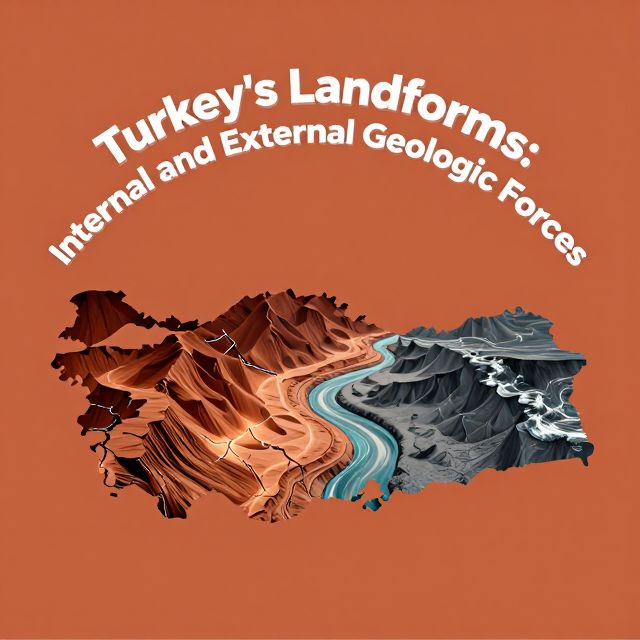
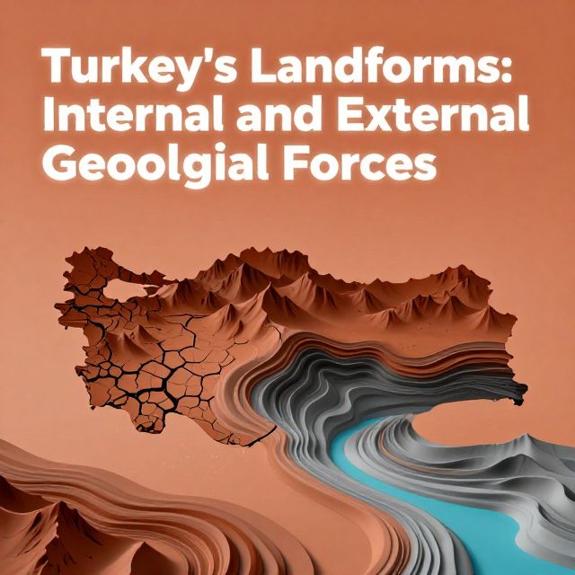
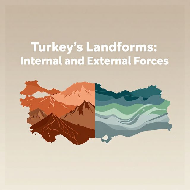
🌍 Turkey's Landforms: Internal and External Forces
Introduction to Geomorphology in Turkey 🏞️
Turkey's geographical landscape is remarkably diverse, a direct result of its complex geological history and active geodynamic setting. Situated at the convergence of major tectonic plates, the Anatolian Peninsula has been shaped by powerful forces originating both from within the Earth and from its surface. Understanding these interacting forces is crucial for comprehending the evolution and current state of Turkey's physical geography.
This study material explores the primary internal (endogenic) and external (exogenic) forces that have sculpted Turkey's unique landforms.
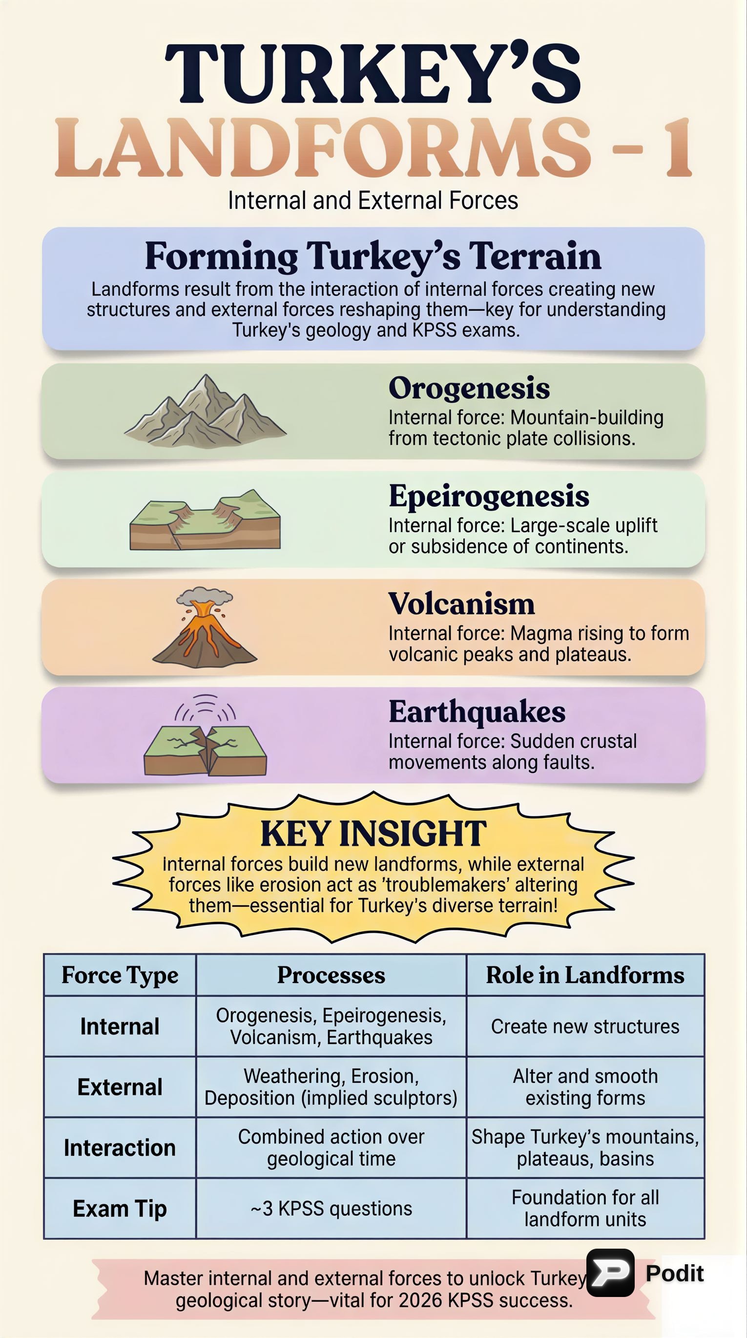
🌋 Internal Forces: Endogenic Processes Shaping Turkey
Internal forces, also known as endogenic processes, originate from within the Earth's interior. They are primarily responsible for creating the large-scale structural features and macro-level topography of Turkey.
1️⃣ Plate Tectonics and Orogeny
Turkey lies within the Alpine-Himalayan orogenic belt, a zone characterized by intense seismic and volcanic activity. This activity is a direct consequence of the collision between the Eurasian, African, and Arabian tectonic plates.
- Orogeny (Mountain Building): The convergence of these plates has led to extensive mountain building.
- Examples: The prominent North Anatolian Mountains (also known as the Pontic Mountains) in the north and the Taurus Mountains in the south.
- Features: These ranges exhibit complex fold-and-thrust belts, indicating significant crustal shortening and uplift.
2️⃣ Epeirogeny
Epeirogeny refers to the broad-scale uplift and subsidence of the continental crust. This process has played a significant role in elevating the Anatolian plateau, contributing to its high average elevation.
3️⃣ Volcanism
Historically, volcanism has been a significant internal force in Turkey. While most major volcanoes are now extinct, their presence indicates past periods of intense volcanic activity.
- Examples of Extinct Volcanoes: Mount Ararat, Mount Erciyes, Mount Hasan, and Mount Nemrut.
- Impact: Volcanic activity contributed to the formation of extensive volcanic plateaus and distinct conical mountains.
4️⃣ Earthquakes
Earthquakes are a frequent and powerful manifestation of internal forces in Turkey, driven by the movement along major fault lines.
- Major Fault Lines: The North Anatolian Fault, the East Anatolian Fault, and the West Anatolian Fault System are among the most active seismic zones globally.
- Consequences: These fault movements cause significant crustal deformation and pose substantial geological hazards across the region.
✅ Key Takeaway: Internal forces establish the fundamental structural framework and high relief of the Anatolian landmass.
🌬️ External Forces: Exogenic Processes Modifying Turkey's Landscape
External forces, or exogenic processes, operate on the Earth's surface. They continuously modify and sculpt the landforms initially created by internal forces, refining the detailed relief and surface characteristics. These processes include weathering, erosion, and mass wasting.
1️⃣ Weathering
Weathering involves the disintegration and decomposition of rocks and minerals.
- Physical (Mechanical) Weathering:
- Mechanism: Breakdown of rocks without changing their chemical composition.
- Prominent in Turkey: Diverse climatic zones.
- Examples: Freeze-thaw cycles in mountainous regions and thermal expansion/contraction in arid and semi-arid areas contribute to rock breakdown.
- Chemical Weathering:
- Mechanism: Decomposition of rocks through chemical reactions.
- Significance: Particularly significant in regions with soluble rocks, such as limestone.
- Karst Topography: Characterized by features like sinkholes, caves, and underground drainage systems.
- Examples: Extensively developed in the Taurus Mountains and regions like Pamukkale, due to the dissolution of limestone by acidic water.
2️⃣ Erosion
Erosion is the transportation of weathered material from one place to another. It is primarily driven by water, wind, and to a lesser extent, glaciers.
- Fluvial Erosion (Water):
- Action: Rivers carve numerous valleys and canyons.
- Examples: The Göksu Canyon.
- Deposition: Rivers also deposit vast amounts of sediment, forming fertile deltas, such as the Çukurova Delta.
- Aeolian Erosion (Wind):
- Action: Active in arid and semi-arid parts of Central Anatolia.
- Features: Shapes dunes and creates ventifacts (rocks sculpted by wind-blown sand).
- Glacial Erosion (Ice):
- Extent: Limited to the highest peaks of mountains.
- Examples: The Kaçkar Mountains.
- Features: From past glacial periods, it has left behind cirques (bowl-shaped depressions), U-shaped valleys, and moraines (accumulations of glacial debris).
3️⃣ Mass Wasting
Mass wasting refers to the downslope movement of rock, soil, and sediment under the influence of gravity.
- Forms: Includes landslides, rockfalls, and mudflows.
- Prevalence: A common phenomenon in Turkey, especially in steep, tectonically active areas with heavy rainfall.
- Impact: Contributes to slope instability and the redistribution of surface material.
✅ Key Takeaway: External forces continuously sculpt and refine the landforms, creating the detailed relief and surface characteristics of Turkey.
🤝 Conclusion: The Dynamic Interplay of Forces
Turkey's distinctive and varied landforms are a product of the continuous and dynamic interplay between powerful internal and external forces.
- Internal forces established the fundamental structural framework, creating major mountain ranges, plateaus, and seismic zones through uplift, folding, faulting, and volcanic activity.
- External forces then acted upon these primary structures, sculpting the details of the landscape by carving valleys, forming deltas, creating karst features, and modifying slopes through weathering, erosion, and mass wasting.
The ongoing interaction between these constructive and destructive forces ensures that Turkey's geography remains a highly dynamic and evolving system. This presents both valuable natural resources and significant geological challenges. A comprehensive understanding of these geomorphological processes is essential for geographical analysis, resource management, and hazard mitigation within the region. 💡