This content is based on a YouTube video.
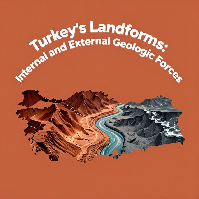
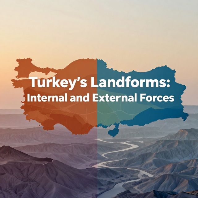
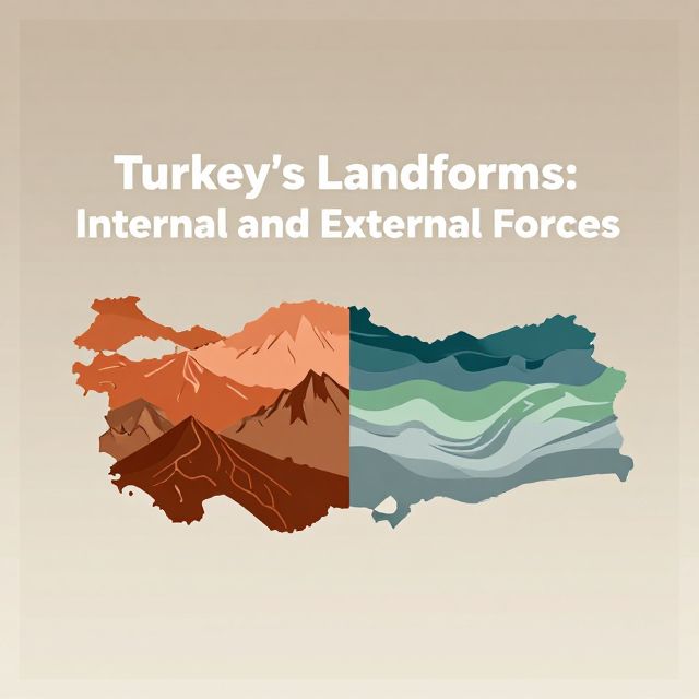
🌍 Turkey's Landforms: Internal and External Geological Forces
Introduction to Turkey's Geomorphology
Turkey's geographical landscape is remarkably diverse, a direct result of its dynamic geological history. Situated at the intersection of major continental plates, its topography is continuously shaped by ongoing tectonic activity and subsequent surface processes. This study material explores the fundamental interplay between internal (endogenic) and external (exogenic) forces that have created and continue to modify the unique geomorphological features of the Anatolian Peninsula. Understanding these forces is crucial for comprehending Turkey's complex terrain.
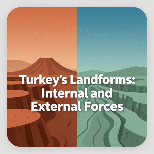
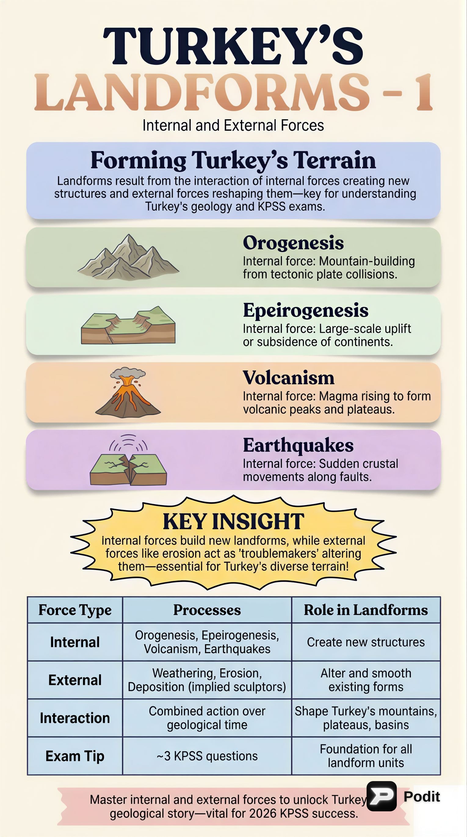
1️⃣ Internal Forces (Endogenic Forces)
📚 Definition: Internal forces originate from within the Earth and are primarily responsible for the large-scale structural features of the landscape.
✅ Plate Tectonics
Turkey's geology is dominated by plate tectonics.
- Location: Turkey lies on the Anatolian Plate, which is caught between the northward-moving Arabian Plate to the south and the relatively stable Eurasian Plate to the north.
- Tectonic Regime: This creates a compressional regime, leading to intense deformation. The Anatolian Plate also exhibits a westward escape along major strike-slip faults.
- Manifestations:
- Orogeny (Mountain Building) ⛰️: Prolonged compressional tectonism has formed major mountain ranges.
- Examples: The Pontic Mountains in the north and the Taurus Mountains in the south are part of the extensive Alpine-Himalayan orogenic belt.
- The Eastern Anatolian region shows particularly rugged topography due to the collision of the Arabian and Eurasian plates.
- Epeirogeny: Broad uplift and subsidence of continental masses have also contributed to regional elevation changes.
- Orogeny (Mountain Building) ⛰️: Prolonged compressional tectonism has formed major mountain ranges.
✅ Volcanism
While many volcanoes in Turkey are now extinct, their past activity significantly shaped the landscape.
- Extinct Volcanoes: Mount Ararat, Mount Erciyes, and Nemrut Dağı are prominent examples.
- Landforms: Volcanic eruptions formed extensive volcanic plateaus and cones, especially in Eastern and Central Anatolia.
- Impact: These eruptions deposited vast amounts of ash and lava, creating fertile soils in some areas and unique rock formations, such as those found in Cappadocia.
✅ Seismicity
Earthquakes are a pervasive characteristic of Turkey's geology, directly resulting from active plate boundaries.
- Fault Lines: The country is crisscrossed by major fault lines:
- North Anatolian Fault (NAF): A highly active strike-slip fault.
- East Anatolian Fault (EAF): Another highly active strike-slip fault.
- Aegean Graben System: In Western Anatolia, extensional tectonics lead to the formation of horsts (uplifted blocks) and grabens (down-dropped blocks).
- This system is responsible for the region's characteristic east-west trending mountain ranges and fertile plains.
- Dynamic Nature: Frequent earthquakes along these fault zones underscore the ongoing dynamic nature of Turkey's internal geological processes.
2️⃣ External Forces (Exogenic Forces)
📚 Definition: External forces operate on the Earth's surface and are responsible for modifying the landforms created by internal forces. These processes are driven primarily by solar energy, gravity, and the hydrological cycle.
✅ Weathering
📚 Definition: Weathering involves the disintegration and decomposition of rocks in situ (in place).
- Physical Weathering: Breaks down rocks into smaller fragments without changing their chemical composition.
- Examples: Frost shattering in high mountain regions, and thermal expansion and contraction in arid areas.
- Chemical Weathering: Alters the chemical composition of rocks.
- Example: The dissolution of limestone is prominent in the Taurus Mountains, leading to the development of extensive karst topography, characterized by caves, sinkholes, and underground drainage systems.
✅ Erosion
📚 Definition: Erosion is the process by which weathered material is transported from one location to another.
- Water Erosion 🌊: The most significant agent of erosion in Turkey.
- Rivers: Rivers like the Euphrates, Tigris, Kızılırmak, and Sakarya have carved deep valleys and canyons, transporting vast quantities of sediment to coastal plains and deltas.
- Flash Floods: In semi-arid regions, flash floods contribute to significant erosion.
- Coastal Erosion: Driven by wave action and currents, continuously reshapes Turkey's extensive coastlines along the Black Sea, Aegean Sea, and Mediterranean Sea.
- Wind Erosion: Prevalent in arid and semi-arid parts of Central and Southeastern Anatolia.
- Sparse vegetation allows wind to pick up and transport fine sediment, forming dunes and shaping rock formations.
- Glacial Erosion: Though less widespread today, it has left its mark on the highest mountain peaks.
- Relict Features: Cirques (amphitheater-like valleys), U-shaped valleys, and moraines (accumulations of glacial debris) are visible in the Eastern Black Sea and Eastern Anatolian regions.
✅ Deposition
📚 Definition: Deposition occurs when eroded material is laid down in a new location. This process creates new landforms.
- Landforms:
- Alluvial Plains: Highly fertile and agriculturally productive, formed by river sediments (e.g., the Çukurova Plain, formed by the Seyhan and Ceyhan rivers).
- River Deltas: Formed at river mouths where sediment is deposited into a larger body of water.
- Coastal Plains: Flat, low-lying land adjacent to the sea.
- Sand Dunes: Formed by wind-deposited sand.
3️⃣ Synthesis of Geological Processes in Turkey
💡 Turkey's complex and varied landforms are a direct result of the dynamic and continuous interplay between powerful internal and external geological forces.
- Internal forces (plate tectonics, volcanism, seismicity) are constructive, creating the country's large-scale structural features, prominent mountain ranges, extensive fault systems, and volcanic landscapes. They establish the fundamental relief and geological framework.
- External forces (weathering, erosion by water, wind, and past glaciation, followed by deposition) are destructive and redistributive. They constantly modify and sculpt these primary landforms, reducing high elevations, filling depressions, and creating new sedimentary features like plains and deltas.
The ongoing interaction between these constructive and destructive forces ensures that Turkey's geography remains a highly dynamic and evolving landscape, offering a rich natural laboratory for geological and geomorphological study.