1. What makes Turkey's landforms exceptionally diverse and dynamically shaped?
Turkey's geographical position, situated at the crossroads of continents and major tectonic plates, is the primary reason for its diverse and dynamically shaped landforms. This unique location subjects the country to continuous geological activity, resulting in a complex topography that includes high mountain ranges, extensive plateaus, deep valleys, and active fault lines.
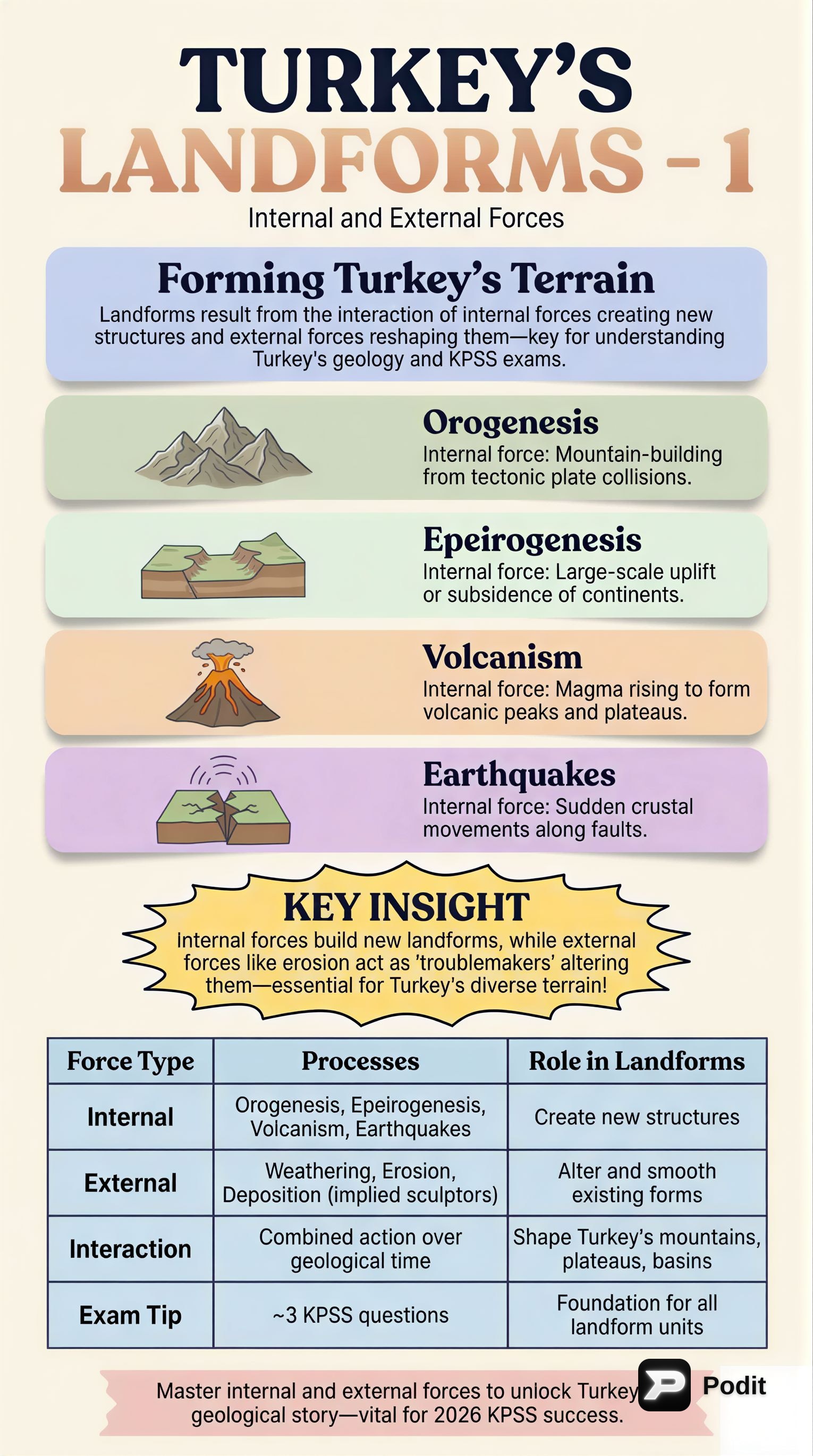
2. What are internal forces in geomorphology, and what drives them?
Internal forces, also known as endogenic processes, are geological forces that originate from within the Earth. They are primarily driven by the Earth's internal heat. These forces manifest through phenomena like plate tectonics, which lead to significant changes in the Earth's crust, such as mountain building, faulting, and volcanic activity.
3. What are external forces in geomorphology, and what drives them?
External forces, or exogenic processes, are geological forces that act on the Earth's surface. Unlike internal forces, they are driven by solar energy and gravity. These forces are responsible for modifying and sculpting the landforms created by internal forces through processes such as weathering, erosion, transportation, and deposition.
4. How is Turkey's location related to major tectonic plates?
Turkey is strategically located within the Alpine-Himalayan orogenic belt, which is a highly active collision zone. This region experiences the convergence and interaction of several major tectonic plates, specifically the Eurasian, African, and Arabian plates. This complex tectonic setting is fundamental to understanding the country's geomorphological evolution.
5. What is the Alpine-Himalayan orogenic belt?
The Alpine-Himalayan orogenic belt is a vast mountain system that stretches from the Atlantic coast of North Africa through Europe and Asia to the Himalayas. It is a major collision zone where several continental plates have converged, leading to intense compressional forces. Turkey is situated within the western part of this belt, making it a region of significant tectonic activity and mountain building.
6. How were the Pontic and Taurus Mountains in Turkey formed?
The Pontic Mountains in the north and the Taurus Mountains in the south of Turkey were formed through intense compressional forces. These forces are a direct result of the collision of tectonic plates within the Alpine-Himalayan orogenic belt. The compressional stress led to significant folding and faulting of the Earth's crust, gradually uplifting and shaping these prominent mountain ranges.
7. What is orogenesis, and when was it particularly active in Turkey?
Orogenesis refers to the process of mountain building, which involves the deformation of the Earth's crust to form mountain ranges. In Turkey, orogenesis has been a continuous process throughout geological history. It was particularly active during the Cenozoic Era, contributing significantly to the formation of the country's major mountain systems like the Pontic and Taurus ranges.
8. Name two major fault systems in Turkey and describe their significance.
Two major fault systems in Turkey are the North Anatolian Fault (NAF) and the East Anatolian Fault (EAF). These are significant strike-slip faults that accommodate the westward movement of the Anatolian Plate. Their activity is responsible for frequent and often devastating seismic events, making earthquakes a defining and critical feature of Turkey's geodynamics and a major natural hazard.
9. What type of faults are the North Anatolian Fault (NAF) and the East Anatolian Fault (EAF)?
Both the North Anatolian Fault (NAF) and the East Anatolian Fault (EAF) are major strike-slip faults. This means that the blocks of crust on either side of the fault move horizontally past each other, rather than vertically. These faults are crucial in accommodating the westward motion of the Anatolian Plate relative to the Eurasian and Arabian plates, leading to significant seismic activity.
10. How has volcanism contributed to Turkey's landscape?
Volcanism has significantly contributed to the formation of Turkey's landscape, particularly in Central and Eastern Anatolia. Although many volcanoes are now dormant, their past activity created extensive volcanic plateaus and distinctive cone-shaped mountains. These volcanic features add to the country's diverse topography and provide fertile soils in many regions.
11. Name three dormant volcanoes in Turkey.
Three prominent dormant volcanoes in Turkey are Mount Ararat, Mount Erciyes, and Mount Hasan. These volcanoes, though no longer active, played a crucial role in shaping the landscape of Eastern and Central Anatolia through their past eruptions. Their presence contributes to the region's unique geological and geographical characteristics.
12. What are the main processes involved in external forces?
The main processes involved in external forces, or exogenic processes, include weathering, erosion, transportation, and deposition. Weathering breaks down rocks, erosion removes the weathered material, transportation carries it away, and deposition lays it down elsewhere. These processes continuously modify and sculpt the Earth's surface, shaping landscapes over time.
13. Explain the difference between weathering and erosion.
Weathering is the process by which rocks and minerals are broken down or altered on the Earth's surface, either physically or chemically, without being removed. Erosion, on the other hand, is the process of removing weathered material from its original location. It involves the transportation of these materials by agents like water, wind, ice, or gravity to another place.
14. What are the primary agents responsible for erosion?
The primary agents responsible for erosion are water, wind, ice, and gravity. Water, in the form of rivers, streams, and rainfall, causes fluvial erosion. Wind leads to aeolian erosion, especially in arid regions. Ice, through glaciers, causes glacial erosion. Gravity contributes to mass movements like landslides, which also involve erosion and transportation of material.
15. Describe the significance of fluvial erosion in Turkey.
Fluvial erosion, driven by rivers and streams, is highly significant in Turkey due to its varied climate and extensive river systems. Rivers like the Euphrates, Tigris, and Kızılırmak have carved deep valleys and shaped extensive river basins across the country. The intensity and type of fluvial processes are influenced by Turkey's diverse climatic conditions, ranging from humid coastal areas to semi-arid interiors.
16. Name three major rivers in Turkey that are significant for fluvial erosion.
Three major rivers in Turkey that are significant for fluvial erosion are the Euphrates, the Tigris, and the Kızılırmak. These rivers, along with their tributaries, have played a crucial role in carving out valleys, shaping extensive river basins, and transporting sediments across the Turkish landscape. Their erosional power contributes significantly to the country's geomorphology.
17. Where is karstic erosion particularly prominent in Turkey, and what landforms does it create?
Karstic erosion is particularly prominent in Turkey's limestone-rich Mediterranean region. This type of erosion leads to the formation of distinctive landscapes characterized by caves, sinkholes (dolines), and travertines. A famous example of such a landscape is Pamukkale, known for its white terraces formed by mineral-rich thermal waters depositing calcium carbonate.
18. How has glacial erosion influenced Turkey's high mountain peaks?
Glacial erosion, though less widespread today, has played a significant role in shaping Turkey's high mountain peaks during past ice ages. As glaciers advanced and retreated, they carved out distinctive landforms. These include cirques (amphitheater-like valleys), U-shaped valleys, and moraines (accumulations of glacial debris), which are still visible in many of the country's higher elevations.
19. What are aeolian processes, and where are they most significant in Turkey?
Aeolian processes refer to the erosion, transportation, and deposition of material by wind. These processes are most significant in the arid and semi-arid central and southeastern regions of Turkey. In these areas, the lack of vegetation cover and dry conditions allow wind to effectively sculpt the landscape, contributing to the formation of specific landforms.
20. What landforms are typically created by aeolian processes in Turkey?
In the arid and semi-arid central and southeastern regions of Turkey, aeolian processes typically create landforms such as sand dunes and loess deposits. Sand dunes are accumulations of sand shaped by wind, while loess deposits are fine, silty sediments transported and deposited by wind. These features are characteristic of landscapes where wind erosion and deposition are dominant.
21. Describe the impact of coastal processes on Turkey's geography.
Coastal processes continuously reshape Turkey's extensive coastlines along the Black Sea, Aegean, and Mediterranean. These processes involve wave action, currents, and tides, which lead to both erosion and deposition. As a result, various coastal landforms are created, including sandy beaches, steep cliffs, and fertile deltas at river mouths, constantly modifying the country's maritime boundaries.
22. What is the overall conclusion regarding Turkey's diverse landforms?
The overall conclusion is that Turkey's remarkable and diverse landforms are a direct product of the ceaseless interaction between powerful internal (endogenic) and external (exogenic) geological forces. The country's active plate boundary setting provides the foundational structures, which are then continuously modified and refined by surface processes. This dynamic interplay ensures a constantly evolving landscape.
23. Why is understanding Turkey's geomorphological forces important?
Understanding Turkey's geomorphological forces is fundamental for comprehending the country's physical geography. It provides insights into the formation of its diverse landscapes, from mountains to coastlines. Furthermore, this knowledge is crucial for assessing natural hazards like earthquakes, volcanic activity, and erosion, which in turn informs urban planning, resource management, and disaster preparedness for human activity.
24. What is the primary driver of endogenic processes?
The primary driver of endogenic processes, or internal forces, is the Earth's internal heat. This heat generates convection currents within the mantle, which in turn drive plate tectonics. The movement of these tectonic plates leads to phenomena such as mountain building, volcanic eruptions, and earthquakes, fundamentally shaping the Earth's crust from within.
25. How do varied climatic conditions influence fluvial processes in Turkey?
Varied climatic conditions across Turkey significantly influence the intensity and type of fluvial processes. For instance, the humid Black Sea coast experiences higher rainfall, leading to more vigorous river flow and erosion. In contrast, the semi-arid Anatolian interior has less consistent rainfall, resulting in different fluvial regimes, often characterized by seasonal flows and distinct erosional patterns.