This content is based on a YouTube video.
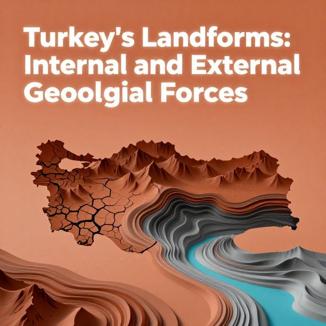
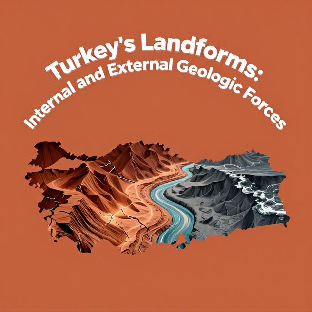
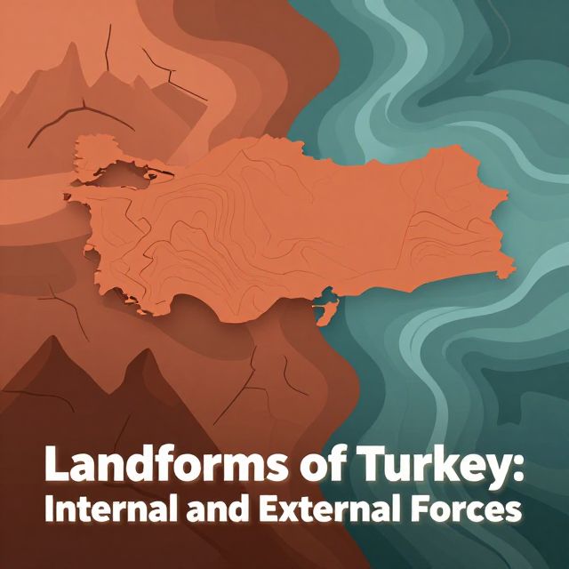
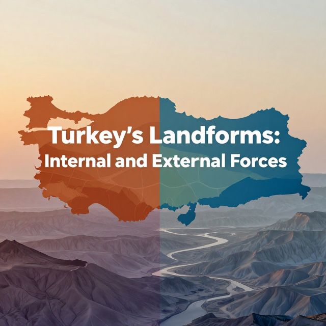
🌍 Turkey's Landforms: Internal and External Forces
Introduction to Turkey's Geomorphology 📚
Turkey's geographical landscape is exceptionally diverse and complex, primarily due to its unique geodynamic setting. Situated at the convergence of major tectonic plates—the Anatolian Plate is actively compressed between the Eurasian, African, and Arabian Plates—the region has undergone intense geological activity throughout its history. This continuous interaction between powerful internal forces, originating from the Earth's interior, and external forces, acting upon its surface, has sculpted the distinctive mountain ranges, plateaus, valleys, and coastal features that define modern Turkey. Understanding these landforms requires a detailed examination of both endogenic (internal) and exogenic (external) processes.
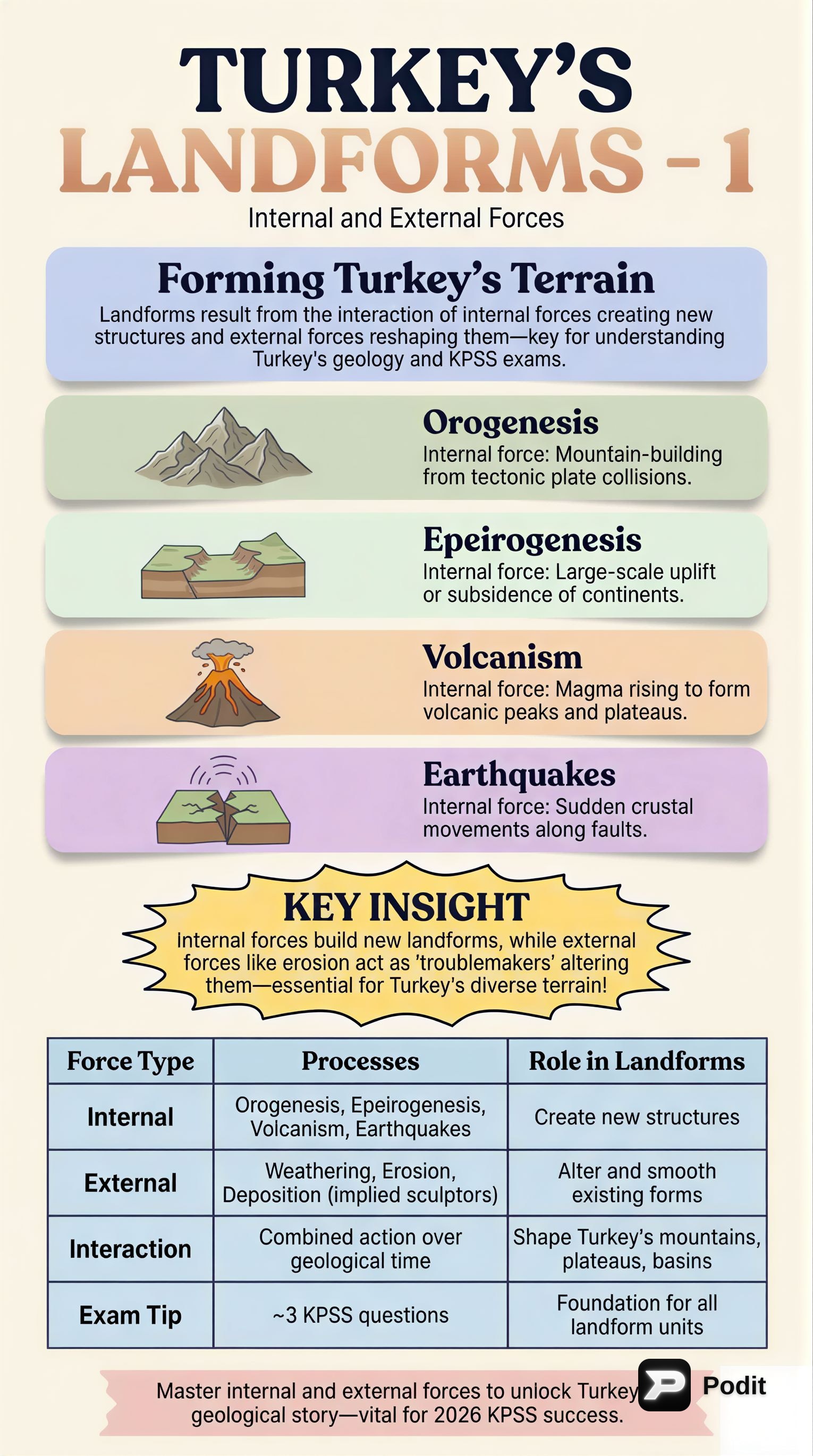
Internal Forces: Endogenic Processes Shaping Turkey ⛰️
Internal forces are the primary architects of Turkey's large-scale structural features. These processes originate from within the Earth and are responsible for creating the fundamental geological framework.
1. Plate Tectonics ✅
The most fundamental internal force is plate tectonics.
- Anatolian Plate Movement: The Anatolian Plate, a microplate, is being extruded westward due to the collision of the Arabian Plate with the Eurasian Plate.
- Impact: This intense compression and shear stress lead to significant seismic activity and extensive mountain building.
2. Orogeny (Mountain Formation) 📈
Orogeny is profoundly evident across Turkey.
- Fold Mountains: The North Anatolian Mountains (Pontic Mountains) and the Taurus Mountains are classic examples of fold mountains.
- They result from immense pressures of plate collision and subduction.
- Characterized by complex geological structures, including numerous folds and thrust faults.
3. Epeirogeny (Broad Uplift/Subsidence) ⬆️⬇️
Epeirogeny involves broad, regional uplift or subsidence.
- Anatolian Plateau Uplift: The general uplift of the Anatolian plateau over millions of years has elevated ancient land surfaces, contributing to its high average elevation.
4. Volcanism 🔥
Volcanism has been a significant endogenic process, particularly in Eastern and Central Anatolia.
- Extinct Stratovolcanoes: Numerous extinct stratovolcanoes, such as Mount Ararat, Mount Süphan, and Mount Erciyes, are evidence of past magmatic activity.
- Landform Creation: These eruptions deposited vast layers of volcanic ash and lava, creating extensive volcanic plateaus and cones.
5. Seismicity (Earthquake Activity) ⚠️
Turkey is one of the most seismically active regions globally.
- Major Fault Zones: The country is traversed by major fault zones like the North Anatolian Fault (NAF) and the East Anatolian Fault (EAF).
- Impact: These strike-slip faults accommodate the westward movement of the Anatolian Plate, leading to frequent and often devastating earthquakes.
- Landscape Modification: Earthquakes continue to modify the landscape through the formation of fault scarps, grabens (down-dropped blocks), and horsts (up-thrown blocks).
External Forces: Exogenic Processes Modifying the Surface 🌬️💧
External forces continuously modify the Earth's surface by breaking down, transporting, and depositing material. These processes are driven by solar energy, gravity, and the hydrological cycle, sculpting and refining landforms initially created by internal forces.
1. Weathering ⛏️
Weathering is the in-situ disintegration and decomposition of rocks.
- Physical Weathering:
- Frost Wedging: Common in mountainous regions, where water freezes and expands in rock cracks.
- Thermal Expansion: Caused by repeated heating and cooling of rocks.
- Result: Breaks rocks into smaller fragments.
- Chemical Weathering:
- Dissolution: Prevalent in regions with ample rainfall and specific rock types (e.g., limestone).
- Oxidation: Chemical reaction with oxygen.
- Karst Topography: Extensive limestone formations of the Taurus Mountains are highly susceptible to dissolution, leading to distinctive karst features like sinkholes, caves, and underground drainage systems.
2. Erosion (Removal and Transport) 🌊💨🧊
Erosion is the removal and transport of weathered material, primarily by water, wind, and glaciers.
-
Fluvial Erosion (Water):
- Active Rivers: Turkey's numerous rivers, including the Kızılırmak, Yeşilırmak, Euphrates, and Tigris, are highly active.
- Landform Creation: They carve deep valleys, canyons, and gorges.
- Sediment Transport: Transport vast quantities of sediment from the interior to the coastal plains.
-
Wind Erosion:
- Significant Regions: Particularly significant in arid and semi-arid regions of Central Anatolia due to sparse vegetation.
- Unique Features: Contributes to unique erosional features, such as the iconic fairy chimneys of Cappadocia, where differential erosion of volcanic tuffs and harder caprocks creates distinctive conical pillars.
-
Glacial Erosion:
- Past Activity: While less extensive today, it was a powerful force during past ice ages in the higher elevations of the North Anatolian and Taurus Mountains.
- Evidence: Includes cirques (bowl-shaped depressions), U-shaped valleys, and moraines (deposits of glacial debris).
3. Deposition (Laying Down of Material) 🏖️
Deposition is the final stage of exogenic processes, involving the laying down of eroded material, creating new landforms.
- River Deltas: Fertile agricultural regions like the Çukurova Delta are formed by river sediments.
- Alluvial Plains: Widespread plains created by river sediments.
- Coastal Processes: Driven by wave action and currents, these continuously reshape Turkey's extensive coastlines along the Black Sea, Aegean Sea, and Mediterranean Sea, forming beaches, spits, and lagoons.
Conclusion: The Interplay of Forces in Turkey's Geography 💡
The intricate and dynamic physical geography of Turkey is a testament to the continuous and powerful interplay between internal and external geological forces. Endogenic processes, driven by its tectonically active position, have established the country's fundamental structural elements, including its prominent mountain ranges, extensive fault systems, and significant volcanic features. These deep-seated forces define the macro-topography and underlying geological framework. Subsequently, exogenic processes—encompassing weathering, erosion by water, wind, and ice, and the deposition of sediments—have meticulously sculpted and refined these primary structures. This ongoing geomorphological evolution has resulted in the rich diversity of landforms observed across Turkey today, from its rugged mountains and high plateaus to its fertile river valleys and dynamic coastlines. Understanding this interplay is crucial for comprehending the natural hazards and resources that characterize the region.